Tag: LNG
-
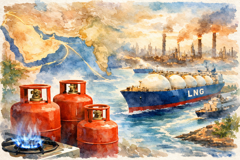
A Cauldron of Gases – Part 2: The Geopolitics of the Flame – The Chokepoints
In an ideal world, liquids and gases, unless restrained, flow freely. However, we do not live in a Utopia. So, in the real world, geography charts (and constrains) the flow of water on the Blue Planet. Some of the important pieces in this unique geographical jigsaw are…
